Transportation Improvement Program (TIP) 2021
This process has concluded for 2021
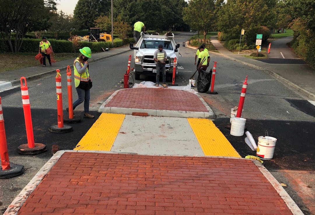
The Transportation Improvement Program (TIP) is a rolling 6-year plan updated annually with a focus on maintaining the existing transportation network and improving it in a thoughtful, safe manner working within financial constraints. The TIP covers City roadway, pedestrian, bicycle and other transportation projects.
Note: The City has an existing long-term plan that identifies various future upgrades in pedestrian and bicycle facilities, many of which are adopted into the TIP.
Each year, public comment and staff input are gathered to inform new proposed additions to the TIP; then the City Council makes the final decision on each project's priority. Projects would be implemented between 2022-2027.
You can learn more about the TIP on this page and then post your comment or add a note to the interactive map (comments received by April 16 will be included in the materials for the May 4 public hearing). Some public comments may fall outside the scope of the TIP - please check the list below to see who else you might need to contact:
- For general public works service requests (e.g. potholes, missing signs) please use our online tool.
- For traffic enforcement issues (e.g. speeding, parking) please contact the MIPD.
- For I-90 operational issues, contact WSDOT.
- For Light Rail construction issues, contact Sound Transit.
Comments
This process has concluded for 2021
CLOSED: This comment period closed on June 1, 2021
Document Library

Who's listening
-
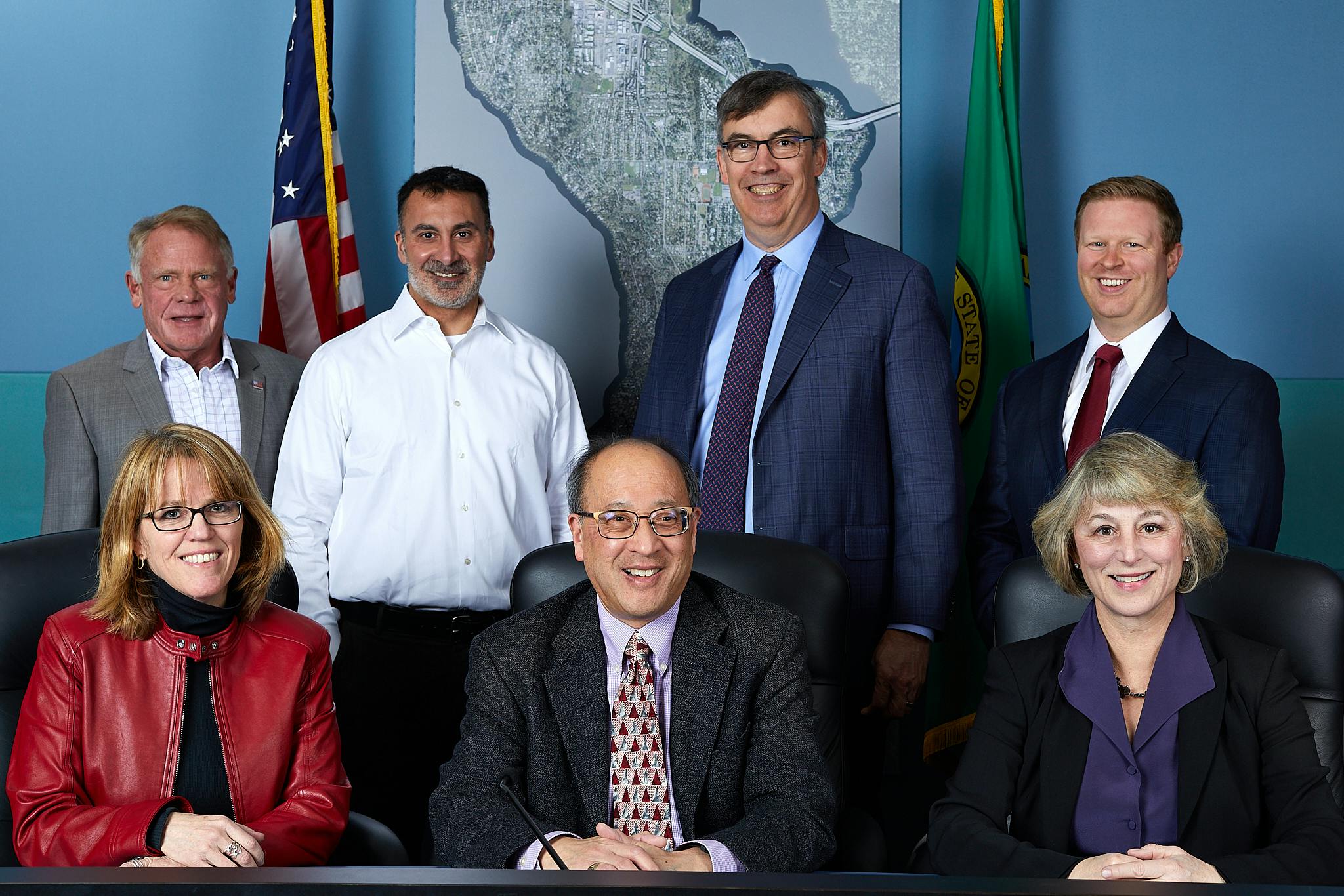
The City Council consists of seven elected members that represent the citizens of Mercer Island with advice from Council appointed Boards and Commissions.
The general TIP approach for PBF projects seems to be to build them along arterial streets. Should we consider instead trying to route new PBF projects along secondary corridors? This approach will likely make these safer and less disruptive to other vehicles.
The big difference is prevalent vehicle speed. On arterials with 30-35 mph limits, such as ICW, Gallagher Hill Rd, and the Mercer Ways, bikes who "take the lane" - even at 20 mph - slow down other vehicles. By comparison, on neighborhood streets with prevalent speeds of 20-25 mph, bikes can take the lane without slowing cars at all.
This approach is also safer for pedestrians, as it leaves the shoulders / sidewalks clear of high speed bikes coming head on.
For those who cycle on Mercer Island and our neighboring communities the difference in bike infrastructure is striking. Eastside communities, King County and the State are investing an additional $250 million in safe bike/pedestrian projects such as East Trail and the new $26 million Factoria bike flyover. In addition Seattle is investing heavily in improving and expanding separated bicycle lanes to connect to the Eastside and improve safe cycling on its streets.
Safe bicycle infrastructure is increasingly recognized as an important transportation asset that contributes to a reduced automobile traffic, cleaner environment, healthier lifestyles, and vibrant local businesses, particularly in communities such as Mercer island. Redmond, Bellevue, Kirkland and many other Washington cities have successfully applied for and received national recognition as Bicycle Friendly Communities.
Despite adopting a Pedestrian Bike Plan in 1996 and again in 2010, Mercer Island’s support of sustainable alternative transportation systems has been slow and limited by funding and the staffing needed to apply for grants. We are pleased, however, that a traffic engineer has just been added to city staff.
Two key areas needing attention are:
· The shoulders on East and West Mercer, a necessary buffer zone for cyclists and pedestrians, remain incomplete and are often blocked by parked cars, boats and garbage cans.
· A completion of a safe bicycle/pedestrian route connecting the commercial centers, schools and transit ; a necessity to promote sustainable transportation on the Island.
Additionally, there is only about one mile of dedicated bicycle lanes on the entire Island, and the few bike lanes in the city center are listed for removal in the current city code. The Island’s main cycling resource is the multi-use I-90 trail, largely owned by WSDOT, which will be closed to bike and pedestrian travel over the next several years during the sewer construction project.
Nationally and locally bike ridership is increasing, and e-bikes are the fastest growing segment of new bicycle sales. The Sound Transit light rail station will feature secure, covered parking for bicycles and e-bikes, and the Farmers Insurance building remodel will include covered bike storage and showers.
Both Island Vision and Neighbors in Motion have advocated for key projects that would make our MI safer and more livable. These projects deserve community support and a higher priority in the future.
Thank you for encouraging comments on the TIP before the final is presented to Council. As a group promoting sustainability, Island Vision encourages further development of the pedestrian and bicycle system throughout Mercer Island, to reduce the need for motorized vehicles. This means making the system safer, as well as more attractive.
High priorities that we think should be emphasized in the TIP update:
*Complete the missing bike/pedestrian links on the Mercer Ways and Island Crest Way. These items are already on the existing TIP, but should be completed as soon as possible. Perhaps the new federal emphasis on infrastructure will provide additional funds.
*Update the existing Bicycle and Pedestrian Facilities Plan to emphasize NACTO safety and design standards, and to specifically address trouble spots, such as the slip lanes on 78th to 32nd, and the slip lane near the City Center Starbucks Lodge.
*Upgrade the pedestrian route on 86th, from ICW to 42th, making it ADA accessible and more safely walkable. This is a Metro and school bus route. The Metro busses will be used increasingly when the light rail on Mercer Island opens, providing frequent fast service to two major employment centers.
*Improve crosswalk and bike lane markings on 40th and ICW, to alert drivers as well as bikers and pedestrians as to how to handle that intersection. The eastbound bike lane on 40th just disappears as it approaches ICW, which is confusing to drivers as to what to expect re cyclists.
*Retain the bicycle lanes on 77th. This will take a plan change, but perhaps that can be done in conjunction with any action on the retail study, or the updated Bicycle and Pedestrian Facility Plan.
Again, thank for inviting comment, and for all the pedestrian and bicycle improvements that have been made recently.
This neighborhood is in need of resurfacing. 86th Ave SE and 84th Ave SE (between SE 46th St and SE 47th St) and SE 47th Street (between 86th Ave Se and 84th Ave SE) are in great need of resurfacing. It has been scheduled and delayed, scheduled and delayed for many many years. The edges are decaying, there are potholes that continue to reappear and the road is "spidering" all over the place. This is unsafe for bikers, drivers, cars and pedestrians in particular our youngest and oldest members of our community.
I would love to see flexible delineation posts installed on the blind turns on EMW/WMW to keep cars out of the shoulder area where pedestrians walk.
I walk daily throughout Pioneer Park. Cars turning right heading westbound onto SE 68th St from southbound Island Crest Way rarely look for pedestrians as it is a yielding right turn. This corner already has poor visibility for the crosswalk coming out of the park. Eventually this could become a tragic accident at this intersection. Typically drivers are looking left for other cars without looking for pedestrians, and they are typically moving quickly through the intersection. Although I am plainly visible at the start of the crosswalk, I often have to wait for several cars to pass before one stops. I am almost hit by cars several times each week. I don't want to see a full stop put in place, but rather a flashing cross light at that right turn alerting drivers to a pedestrian crossing. It need not extend across the street but a simple flashing light on demand at a signpost perhaps 20-30 feet before the turn.
I am writing to ask that the bike lane on 77th be maintained in any improvement project to this street.
This is the only designate bike access to town center and is used daily by adults and kids. Removing it would be irresponsible and unsafe as the walks are too crowded to ride on and the street is a busy one, and people don’t always share the road.
https://nextdoor.com/p/5ZkrLHFbWdBx?view=detail This is a link to my 2021 post on Nextdoor on the 2021 TIP.
https://nextdoor.com/news_feed/?post=148567555r This is a link to my 2020 post on ND I submitted as a public comment for 2020's TIP.
It doesn't look like there are any new projects for 2021. I still oppose removing the mature trees along the east side of 80th, and my advice is be careful on the north-south bike path. I agree with Patrick Yamashita's comments last year that every time the council tries to fund completing the bike gap out of the TIP and the citizens realize it means removing the mature trees along one side of ICW from 53rd to 68th they object strenuously, and the city abandons the project. I still don't understand how a bike path on the far south end of Mercer Island qualifies for the $5.1 million in ST mitigation funds for East Link.
My advice is there is a big difference between selecting a TIP project and funding it vs. the citizens supporting it. 2022 is a levy year, and that generally means avoiding controversial projects, certainly TIP projects.
I do think the crossing at West Mercer Way for the bike trail turned out well, better than I first thought.